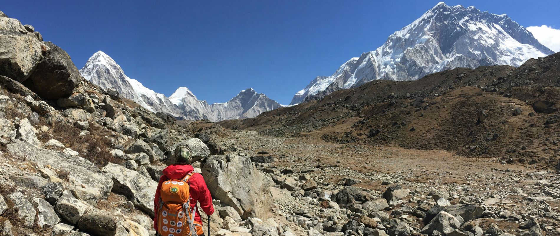
Landslide Blocks Namche–Jorsalle Trekking Route
Shreeyash Thapa
SHERPA DAI SUMMARY
Intelligent Himalayan Trail Analysis
"Despite a temporary landslide blocking the lower trail between Jorsalle and Namche Bazaar, trekkers can safely reach the Everest Region using a scenic upper alternative route."
The Landslide Incident
Heavy rainfall caused a major landslip between Jorsalle and Namche Bazaar, blocking the usual lower trail along the Dudh Koshi River with no injuries reported.
Upper Alternative Route
Local authorities and guides have established a safe upper trail 200 to 300 meters higher, adding 30-60 minutes to the journey with slightly more demanding climbs.
Essential Trekking Tips
Trekkers should use licensed guides, start early before noon, bring extra water and snacks, and use trekking poles due to limited amenities and steeper terrain.
Table of Contents
Click any topic to jump directly to that section
The Everest Region is a home to the world’s highest mountains that has recently faced a new challenge of roadway blockage. From early October 2025, Namche Bazaar to Jorsalle section is temporarily blocked due to the recent landside. The Trekking Agencies’ Association of Nepal (TAAN) has confirmed that the lower trail connecting Jorsalle and Namche Bazaar is damaged by the heavy rainfall resulting in major landslip.
However, you can still trek to Everest Region as local authorities and guides have already opened a safe alternative route. The usual lower trail is blocked, so the upper trail which is approximately 200 to 300 meters above is the alternate trail. This update blog by Yeti Hikes has all the latest information and the alternative safe routes to travel to Everest region.
Continue your journey and create memories!

The Landslide Incident in the Everest Region
The soil near the Dudh Koshi River loosened after days of nonstop rain in the Khumbu region, resulting in a massive landslip that covered portions of the trail with rocks, mud and downed trees. The path became too hazardous to use, but thankfully there were no casualties or injuries.
Notable landmarks in this area between Jorsalle and Namche include a steep ascent, swinging suspension bridges, and slopes covered in pine and rhododendron trees. It's also the path that all hikers must take to reach Namche Bazaar, the bustling mountain town that serves as a regional trading hub and an acclimatization stop.
To ensure that you could continue you journey safely, local guides promptly started scouting an upper alternative trail after the lower trail was blocked.
The Alternative Route between Namche Bazaar and Jorsalle
Before the Hillary Suspension Bridge, this upper route splits off from the main trail. It then gradually ascends a higher forest ridge before resuming the trail just before the Namche entry point.
Overview of the Alternative Route:
|
Type |
Upper trail |
|
Elevation |
About 200 to 300 meters higher than the original lower trail. |
|
Starting Point |
Jorsalle (2,740m). |
|
Ending Point |
Namche Bazaar (3,440m). |
|
Distance |
Roughly the same distance as the regular route, but with more elevation gain. |
|
Extra Time |
Adds 30 to 60 minutes depending on pace, weather, and fitness. |
|
Difficulty |
Slightly more demanding due to steeper climbs. |
|
Safety |
Currently the only safe and recommended route is between Jorsalle and Namche Bazaar. |
Trail Condition and Scenery
Even though the upper route between Jorsalle and Namche Bazaar is narrow and steep in some places, it is still safe to travel with a certified guide. The trail winds through peaceful wooded areas before emerging into picturesque clearings with awe-inspiring views of the Dudh Koshi River Valley below. This alternate route provides a more peaceful and engaging experience in nature than the more crowded lower path.
With the calming sounds of birds resonating through the trees, trekkers frequently characterise it as serene and genuine. The trail is lined with colourful wildflowers along the way, and its natural charm is enhanced by occasional views of mountain goats or grazing yaks. The route rewards every step with peace and breathtaking Himalayan beauty, despite being a little more difficult.
Facilities along the Upper Trail
The upper route has fewer rest stops and small teahouses than the main trail. As a welcome respite for hikers, a few of the nearby lodges provide tea, snacks, and basic meals. It is advised that you bring your own water and light refreshments to stay energised throughout the ascent due to the limited services. Depending on the weather and your walking pace, you can decide to eat lunch in Jorsalle either before beginning the climb or after arriving at Namche Bazaar. The trail's rustic charm is enhanced by its few amenities, which give hikers a true sense of adventure while maintaining basic comforts.
Important Notes from Trekkers
- Use a Local Licensed Guides: Guides are aware of the proper route through the forest ridge, and there are fewer signposts along the trail.
- Avoid Shortcuts: Although they may seem alluring, some unofficial side routes can be unstable or lead to nowhere.
- Start Early: To get to Namche by daylight, it is advisable to start the ascent from Jorsalle before noon.
- Bring snacks and extra water: There aren't many refill stations along this upper route.
- Anticipate slower progress: Depending on the weather and group pace, the diversion adds an additional thirty to sixty minutes.
- Make use of trekking poles: It can be exhausting to traverse the steeper terrain, particularly when carrying a rucksack.
Local Response and Repair Efforts
The Nepal Army, TAAN, and local authorities have all taken action to keep an eye on and fix the damaged area. Before a reopening date is announced, engineers are assessing the terrain.
While guides are assisting hikers in navigating the upper path, TAAN has erected information boards and warning signs along the route.
Life continues as usual in Namche Bazaar. Cafes are bustling, trekkers are still coming in every day, and the town square is still alive with colour and conversation from the famous Saturday market.
When will the Lower Trail of Everest Region Reopen?
No formal reopening date has been set as of early October 2025. Weather, the stability of the terrain, and regular safety checks all affect the precise timetable.
After the route is stable enough for general public use, TAAN will publish updates. Cleanup efforts are still ongoing. Trekkers should adhere to the upper diversion, which is completely safe and operational with local assistance, until that time.
Final Thoughts from Yeti Hikes
We have redesigned all our itineraries of the Everest region, such as the Everest Base Camp, Gokyo and Three Passes to use the upper route between Jorsalle and Namche Bazaar. At Yeti Hikes, all our guides are informed about the current state of the trails, and they ensure that all the trekkers are able to walk through the trail without any complications and yet they are able to have the complete Himalayan experience.
The higher path is perhaps a bit stiffer, but the sceneries are equally spectacular and the experience of reaching Namche after the climb is indeed satisfying and unforgettable.
Shreeyash Thapa
Himalayan Trekking Specialist
Sharing reliable trekking insights, seasonal guides, and authentic cultural stories from across Nepal's majestic trails.
READ ALL ARTICLES →Featured Treks

Need Custom Trekking Advice?
Unsure which season or trail fits your fitness level? Let our Himalayan experts customize an itinerary tailored specifically for you.